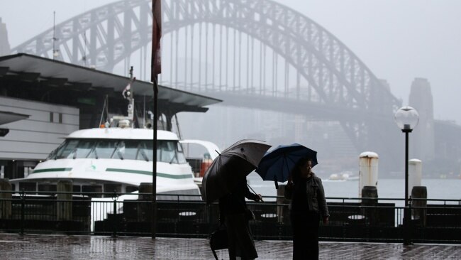
Sydney records wettest year since 1858

Sydney has officially experienced its wettest year since records first began in 1858.
Sydney, The Gulf Observer: Sydney has officially experienced its wettest year since records first began in 1858. Sydney has experienced rainfall on 159 days so far this year – which marks more than half of 2022 – and there are still almost 90 days left.
Australia Meteorologist Rob Sharpe said the Harbour City would normally have recorded just over 100 days of rain and a total of about 1,000mm or one meter by this point.
Sharpe warned Sydneysiders to expect “wetter than usual” conditions for the rest of the year.
“Sydney is likely to see another 50-100mm before the end of the week,” he said.
“For the rest of the year Sydney is likely to see wetter than usual weather, meaning that it is likely to smash the previous record by a large margin by year’s end.”
In a statement released on Wednesday the Bureau of Meteorology issued a severe weather warning for parts of New South Wales, Victoria and Queensland.
“A severe weather warning for heavy rainfall is current for New South Wales, Victoria and Queensland bringing renewed flood risks for parts of these states,” the BOM said.
“Severe thunderstorms producing heavy rainfall, damaging winds and large hail are possible across western Queensland and New South Wales, on Wednesday.
“The coming rain is likely to lead to renewed river level rises across many already flooded rivers in New South Wales and northern Victoria, with widespread moderate to major flooding likely across inland NSW.”
On Wednesday NSW Premier Dominic Perrottet announced the Warragamba Dam wall would be raised by 14 meters to help “save lives and save properties” and help future-proof Western Sydney from flood risk this summer.
State Emergency Service crews are currently working across the state to prepare for the wet summer, with Emergency Services and Resilience Minister Stephanie Cooke telling the press conference two weather systems were already affecting residents.
“We’re facing a difficult few days across inland NSW and across coastal communities and unfortunately no one will be spared rainfall this week,” Ms Cooke said.
Australians are in for another wet summer after the Bureau of Meteorology in September confirmed a third consecutive La Nina was underway.
The BOM revealed key atmospheric and oceanic indicators of the El Nino-Southern Oscillation show the weather pattern was “established”.
“Tropical Pacific sea surface temperatures have been cooling since June and are now at La Nina thresholds,” a BOM statement read.
“Atmospheric indicators including the Southern Oscillation Index (SOI), trade wind strength, and equatorial cloudiness are also displaying patterns typical of a La Nina event.”
It will be the first time in two decades that a third consecutive La Nina has occurred with this edition set to peak during spring with a return to normal conditions expected for early next year.


